

Road Trips in Rwanda
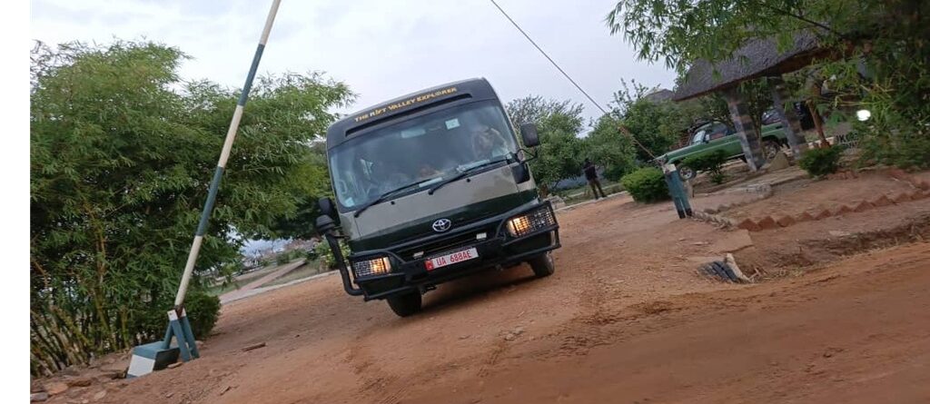
Bujuku Eco Tours2026-07-13T14:54:51+03:00Road Trips in Rwanda: Rwanda’s roads are among the best-maintained in the East African region. The main highways connecting Kigali to Musanze in the northwest, Kigali to Huye in the south, and Kigali to the eastern border at Akagera are fully sealed tarmac in good condition. The speed limit is 80 km/h on rural highways and 40 km/h inside national parks, and speed cameras enforce both. Rwanda drives on the right, which is the same side as continental Europe, North America, and most of the world, making the adjustment easier for many international visitors than in Uganda or Kenya. There is a lot of foot traffic on the roadsides throughout the country. People walk between villages, carry produce to markets, and use the road shoulders as daily routes in a way that requires consistent attention from drivers, particularly around corners.
Rwanda covers about 26,000 square kilometers, which is roughly the size of Wales or the state of Maryland. No destination in the country is more than five to six hours from any other. This means that a ten-day road trip circuit can cover Volcanoes National Park, Lake Kivu, Nyungwe Forest, and Akagera National Park without any single driving day feeling excessive. Compare this with Uganda, where the equivalent circuit involves eight-to-ten-hour drives between major parks, and Rwanda’s appeal for self-drive travel becomes clear.
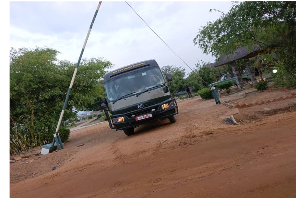
The infrastructure also helps. Kigali International Airport has direct flights from most major African hubs and several European cities, so arriving and collecting a rental vehicle within a couple of hours is straightforward. Car rental companies operate from the airport and from offices in Kigali, and the standard vehicle for most Rwanda road trips is a Toyota RAV4 or a Toyota Land Cruiser Prado, both of which are comfortable on the sealed highways and capable on the park access roads and rural tracks that appear on most itineraries.
The country is also very safe and well-signed. Rwanda’s significant investment in public infrastructure since the mid-1990s has produced a road network with clear signage, working traffic lights in Kigali, and reliable petrol stations at regular intervals on the main routes. The main risks for road trip drivers in Rwanda are not crime or poor signage but the combination of winding mountain roads where the curves are sharper than they look, foot traffic that appears on the road at any hour, and the tendency of navigation apps to underestimate driving times because they cannot account for the number of bends.
The Best Road Trip Routes in Rwanda
Route 1: Kigali to Volcanoes National Park | 105 km | 2.5 to 3 hours | Drive on the RN2 northern highway via Musanze
The drive from Kigali to Volcanoes National Park is Rwanda’s most travelled tourist route and one of the finest short drives in East Africa. Leaving Kigali northwest on the RN2 national highway, the road climbs and winds through the densely farmed hillsides that give Rwanda its name as the Land of a Thousand Hills. The terracing on both sides of the road is meticulous, with sorghum, maize, banana, and potato farms working every available slope. The landscape is different from what most visitors expect Africa to look like, and that is part of what makes it striking.
The Virunga volcanoes appear on the horizon about an hour before you reach Musanze, the nearest town to the park. On a clear morning the peaks are snow- streaked and dramatic against the blue sky, and the first clear view of them from the road is one of those moments that most drivers cannot resist stopping for. Musanze itself, formerly called Ruhengeri, is a well-provisioned town with reliable petrol stations, a reasonable market, several good guesthouses and lodge options, and a number of restaurants. It serves as the practical base for Volcanoes visitors who arrive the evening before a gorilla trek and need accommodation close to the morning briefing point at Kinigi.
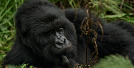
From Musanze the road continues a further fifteen kilometers to the park boundary at Kinigi, where the Rwanda Development Board runs the daily gorilla trekking briefing at 7:00AM. The road from Musanze to Kinigi is sealed but winds through tea plantations and small communities, and the final approach climbs past the turnoffs to several of the luxury lodges that rim the park boundary. The drive from Kigali to Kinigi takes between 2 to 3 hours at a normal pace, which means leaving Kigali at 4:00 to 6:00 AM is sufficient for a 7:00 AM briefing arrival without rushing.
Route 2: Kigali to Akagera National Park | 110 to 120 km | 2 to 2.5 hours | Drive east via Rwamagana and Kayonza
The Kigali to Akagera drive runs east on the RN3 highway through the Rwandan lake district and the rolling agricultural country that separates the capital from the Tanzanian border. The landscape on this drive is less dramatic than the mountain northwest but has its own character: the humidity increases as you move east toward the lake systems, the vegetation becomes more open, and the quality of the light shifts from the cool highland clarity around Kigali to the warmer, flatter light of the eastern savannah.
Rwamagana, about 45 kilometers from Kigali, is a provincial town on Lake Muhazi and a practical stop for fuel on the way east. The road continues through Kayonza to the park’s southern gate at Gabiro, which is the main access point for most visitors. The tarmac continues until the park entrance, at which point the road becomes the park’s interior murram track network for game drives. A 4WD is recommended for Akagera game drives, particularly in the wet season when the park’s clay soils can make interior tracks challenging.
Akagera was transformed by the handover of management to African Parks in 2010, and the park today is in a different category from what it was fifteen years ago. Lions were reintroduced in 2015, black rhinos in 2017, and thirty southern white rhinos were translocated from South Africa in 2021 in one of the largest such operations in history. The Big Five are now resident, and game drive circuits on the rolling hills and lake margins of Akagera produce reliable sightings of elephant, buffalo, giraffe, zebra, and antelope alongside the predators. The Lake Ihema boat cruise, departing from a jetty inside the park, is one of the best ways to see the Shoebill Stork and the Papyrus Gonolek in their papyrus swamp habitat.
Route 3: Kigali to Nyungwe Forest National Park | 225 km | 5 to 6 hours | Drive south via Huye (Butare) on the RN1
The drive from Kigali to Nyungwe Forest is Rwanda’s longest single inter-destination drive and its most scenically diverse. The RN1 national highway runs south from Kigali through the commercial and cultural hub of Huye, formerly called Butare, and then continues southwest through tea plantations as the road begins to climb into the mountains above Lake Kivu. This is the drive that convinces most visitors that the driving itself is part of the Rwanda experience rather than a transfer between activities.
The first significant stop is Huye, about two hours south of Kigali, which holds the National Museum of Rwanda, one of the best ethnographic museums in the region. The museum covers traditional Rwandan culture, agricultural practices, basketry, music, and the social structures that predate and survived the colonial period. A half-day visit to Huye’s museum, followed by lunch at one of the town’s Rwandan restaurants, breaks the southern drive well and adds a cultural dimension that the national parks do not provide. The Nyanza Royal Palace Museum, another hour south of Huye, covers the history of the Rwandan monarchy and includes a reconstruction of the traditional royal residence with a herd of Ankole longhorn cattle in the surrounding grounds.
South of Huye the road enters the tea plantation country of Rwanda’s southwest, and the character of the landscape shifts completely. The hills are covered in the dark green rows of tea bushes, worked by pickers who move through the rows with the same unhurried efficiency as the terracing farmers further north. As the road climbs toward the Nyungwe plateau, the tea gives way to ancient forest and the temperature drops noticeably. Arriving at Nyungwe after a five-hour drive and checking in to accommodation on the forest edge, with the sounds of the old growth forest beginning at the tree line, is one of those arrivals that repays the time it took to get there.
Nyungwe Forest National Park covers 1,019 square kilometres of montane rainforest, one of the oldest and most biodiverse in Africa. Chimpanzee trekking, the canopy walk at fifty meters above the forest floor, and guided primate walks through the forest are the main activities. The forest holds 322 bird species, 29 of which are Albertine Rift endemics, and the Red-collared Babbler, one of Africa’s most sought-after forest birds, is most reliably seen here.
Route 4: The Lake Kivu Western Drive | Kigali to Rubavu 167 km (3–3.5 hrs) | Rubavu to Nyungwe via Karongi 260 km (5–6 hrs)
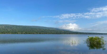
Lake Kivu is Rwanda’s western border, a 2,700 square kilometer freshwater lake at 1,460 metres above sea level on the edge of the Great Rift Valley. The lake has a long Rwandan shoreline running from Rubavu (formerly Gisenyi) in the north to Rusizi (formerly Cyangugu) in the south, and the road that follows this shore is among the most scenic drives in the country.
The drive from Kigali to Rubavu in the north covers 167 kilometers on a well-maintained highway that descends from the highlands around the capital toward the lake basin. The road approaches Rubavu through the last section of the Virunga mountain foothills, and the first view of the lake, with the DRC hills rising on the opposite shore and the water extending south further than you can see, is one of Rwanda’s most immediately impressive landscape moments. Rubavu itself is a lakeside town with beaches, bars, and restaurants on the waterfront and a level of activity that feels different from the highland towns further north. The hot springs at nearby Gisenyi are accessible from Rubavu, and Mount Nyiragongo, the active volcano in the DRC whose lava lake is visible as an orange glow after dark on active nights, sits across the border close enough to feel present even from the Rwandan shore.
From Rubavu, the drive south along the lake to Karongi (formerly Kibuye) covers approximately 90 kilometres of lake shore road with the water visible for most of the route and fishing villages and small island silhouettes breaking the western horizon. Karongi is a good overnight stop on the lake, quieter than Rubavu and with more concentrated views of the lake’s island-dotted central section. Napoleon Island, a short boat ride from Karongi, is home to a significant colony of fruit bats and is one of the more unusual wildlife experiences available along the lake shore.
Continuing south from Karongi toward Rusizi, the road follows the Congo Nile Trail, a 227-kilometre hiking, cycling, and driving route that runs the full length of Rwanda’s Lake Kivu shore. The road between Karongi and Rusizi passes through tea plantations on the steeper slopes above the lake, small fishing communities where colourful wooden boats are hauled up on the banks each morning, and elevated sections that give panoramic views east across the lake and west toward the Congolese mountains. This section of the drive from Karongi to Rusizi takes between three and four hours and is best started in the morning to allow time for stops.
From Rusizi the road turns east into the mountains toward Nyungwe Forest, completing the western lake circuit connection into the southern forest route. The full Lake Kivu western drive from Rubavu to Rusizi and then east to Nyungwe covers approximately 350 kilometres and takes a full day with stops.
Route 5: The Grand Loop | Kigali → Musanze → Lake Kivu → Nyungwe → Huye → Kigali | 10–14 days, approximately 830 km
The Grand Loop is the full Rwanda road trip circuit and the itinerary that gives the most complete picture of the country in a single connected journey. It covers all four national parks if Akagera is added as an eastern extension, covers the full Lake Kivu shoreline, passes through the main historical and cultural stops in the south, and returns to Kigali having covered a country that felt far larger than its actual size.
The recommended sequence is clockwise from Kigali: north to Musanze and Volcanoes National Park for two nights covering the gorilla trek and golden monkey trekking, then west to Rubavu and the northern Lake Kivu shore for one night, then south along the lake to Karongi and Rusizi for two nights covering the Congo Nile Trail section and the boat trips on the lake, then east to Nyungwe Forest for two nights covering chimpanzee trekking and the canopy walk, then north via Huye and Nyanza for the museum stops, and finally back to Kigali. That circuit, without the Akagera extension, covers approximately 830 kilometers and takes ten to twelve days at a comfortable pace.
Adding Akagera extends the circuit by one to two days and approximately 230 kilometers by returning to Kigali via the eastern park rather than directly from the south. The Kigali to Akagera leg is best treated as a separate extension at the start or end of the Grand Loop rather than built into the middle, as Akagera’s position in the east does not sit naturally between any of the other destinations on the western and southern circuit.





Comments (3)
[…] Rwanda is a landlocked country in East Africa. With a history that spans thousands of years ago, Rwanda has experienced a number of sociopolitical changes and challenges that have meaningfully shaped the country. The most catastrophe is the recent one that happened in 1994; the Rwanda genocide against the Tutsis by the Hutus. This genocide is considered the most horrific event in the history of mankind. The 1994 Rwanda genocide was a period that lasted 100 days and were characterized of mass killings, holocausts, rapes, and many other bloodsheds. During this period more than 800,000 Tutsis and a few Hutus who were sympathized by the Tutsi killing paramilitaries. Some sources say up to a million people died during this period. […]
[…] to Dian Fossey Hike: Most travelers go to Rwanda with one activity circled in red on their itinerary and that is ‘gorilla trekking’. Fewer […]
[…] you’re coming from Rwanda, Kigali is roughly two to three hours away via the Katuna border crossing, making Bunyonyi a […]